Collecting sufficient data is vital. From the bathymetry survey of the channel, unexploded ordnance risk assessment, sediment movement and sampling to underwater archaeology and cultural heritage, survey data can help your planning construction and maintenance accurately.
The use of multi-beam and side-scan sonar surveys to detect cable exposure and measure depth of sediment cover over cable by comparison of seabed with previous surveys. Use of high resolution MBES digital terrain models, with highly accurate vertical correction for tides to monitor cable depth of cover without the use of ROVs. Acquisition speeds of 3-4 knots.
To support the pre-requisite of insurance risk assessment and authority license acquisition, we deliver unexploded ordnance survey in offshore wind farm to identify potential obstructions.
Inherited from one of the parent companies, IOVTEC, we provide integrated service package including survey techniques, Taiwan-flagged survey vessels, local experienced surveyors and state-of-the-art survey equipments. Through our track records across Europe and Taiwan, we enhance your knowledge and understanding of the geotechnical and geophysical risks associated to your projects.
Taipei, Taiwan, July 27 2023. International Ocean Group (IOG), a leading offshore wind farm services provider, announced today the successful […]

CWind Taiwan, a joint venture between International Ocean Group (IOG) and CWind, part of the Global Marine Group (GMG) has […]
CWind Taiwan has been awarded a contract by Van Oord to charter a survey boat for the near-shore cable route […]
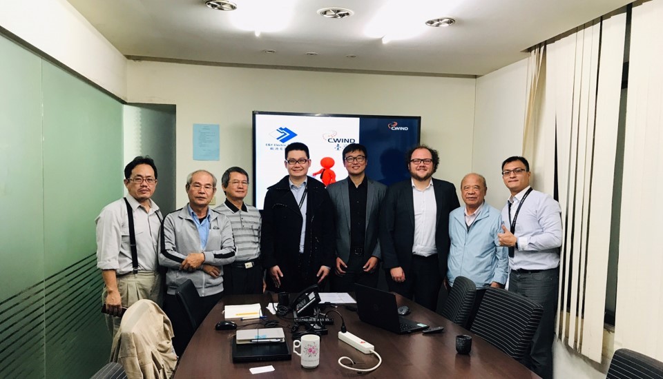
We are delighted to announce that CWind Taiwan have signed an exclusive cooperation agreement with E&Y Electronics (毅源有限公司) to develop […]
Taipei, 14th December 2020. CWind Taiwan announced that it is sponsoring up to 100 Taiwanese students and local fishermen to […]
Taipei, 15th October 2020. CWind Taiwan announced that it has been awarded a balance of plant (BOP) contract for Formosa […]
Taipei, 1st September 2020. CWind Taiwan announced today that it has been awarded a contract by wpd to provide a […]
Taipei, 10th August 2020. CWind Taiwan, a joint venture between European firm CWind and Taiwanese IOVTEC, has announced a strategic […]
– The Ocean Renewable Energy Action Coalition (OREAC) is an initiative led by major players in the offshore wind industry, […]
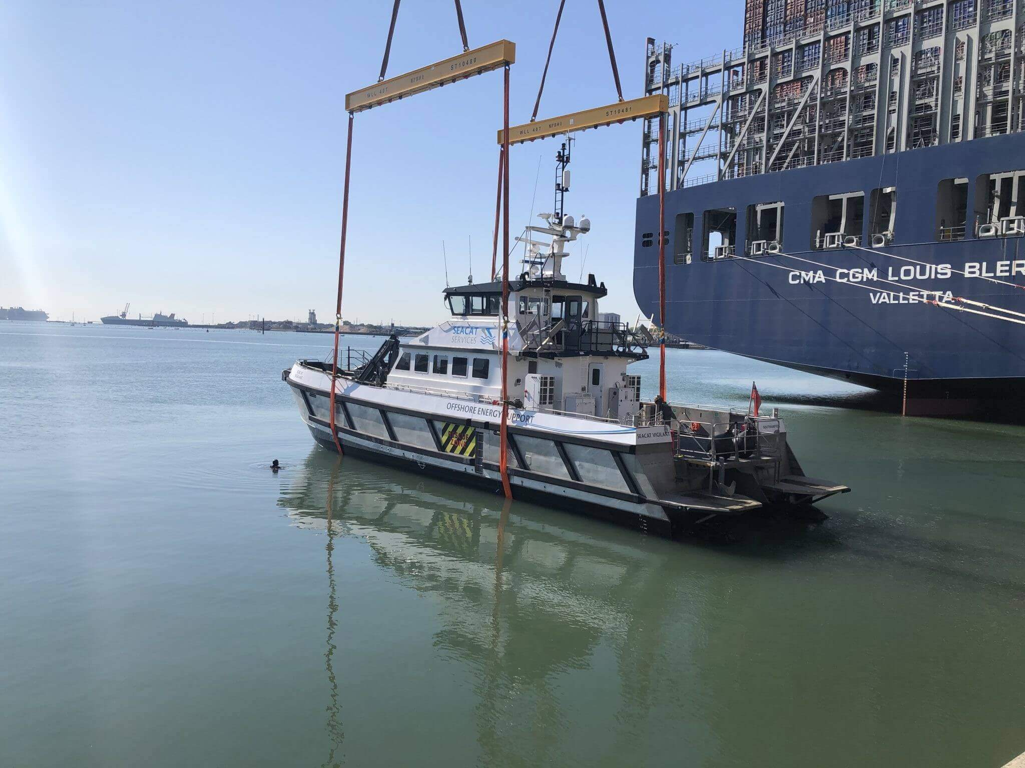
CWind Taiwan acquires pair of class-certified 24m CTVs from Seacat Services as market collaborates to meet regional demand for high-quality […]
CWind Taiwan has announced the successful execution of a seabed survey for DEME along the gas pipelines in the Anping […]
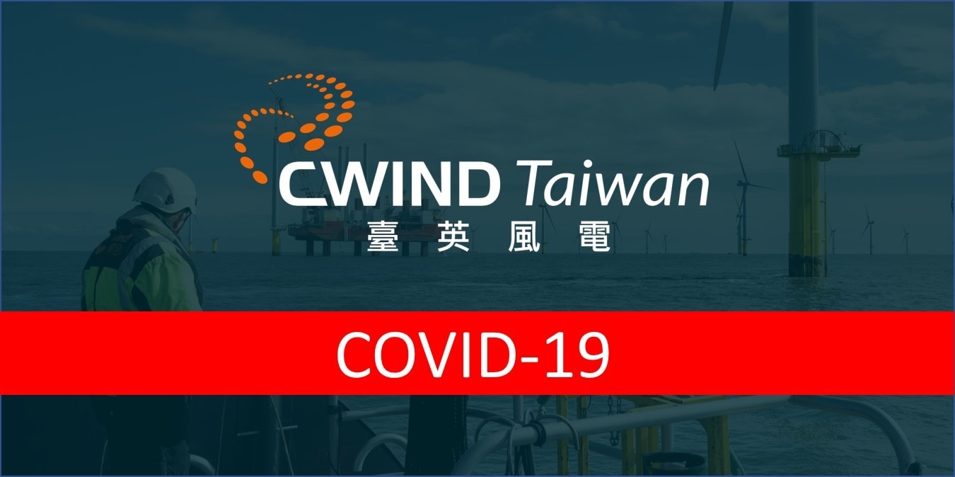
On behalf of the CWind Taiwan team, we would like to give you an update on the measures we are taking to cope with the effects of COVID-19.
CWind Taiwan announced that it has been awarded two Crew Transfer Vessel charters for Formosa 1 wind farm by FOWI […]
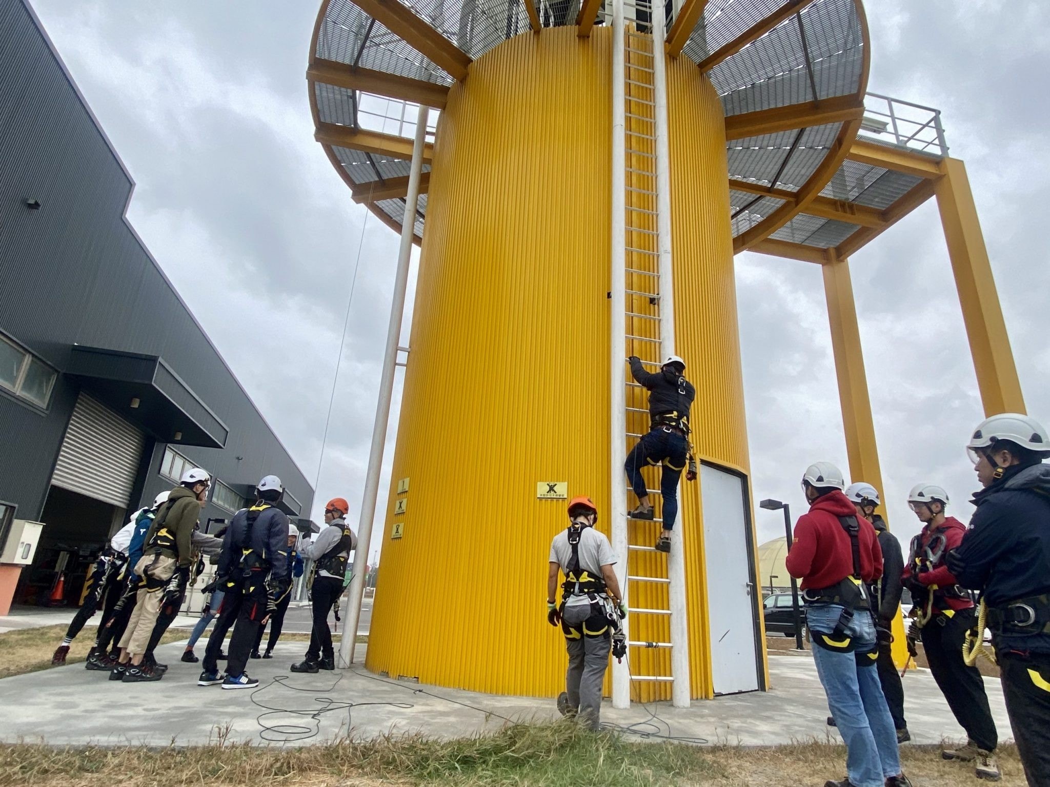
Taipei, 8th July 2019. CWind Taiwan announced today that its invested offshore training centre, Taiwan International Windpower Training Corporation (TIWTC), […]